

A river can look simple on a map: one blue line moving toward the sea. In reality, it is the visible result of an entire system. Basin geography examines the area drained by a river and its tributaries, including how water enters, moves through, remains stored within, and eventually leaves that area. For IB DP Geography students, the key is to connect those processes to hydrographs, flood risk, landforms, human activity, and water management.
Basin geography at a glance
Before studying the details, make sure you can do five things:
- Define a drainage basin and identify its watershed.
- Classify hydrological processes as inputs, stores, transfers, or outputs.
- Explain how physical and human factors change river discharge.
- Interpret storm hydrographs using evidence from the graph.
- Apply named examples when evaluating flood and water-management strategies.
The topic sits within Option A: Freshwater: Drainage Basins. RevisionDojo's Freshwater and Drainage Basins topic hub brings its lessons, practice questions, and revision materials together.
The drainage basin as an open system
A drainage basin is the area of land drained by a main river and its tributaries. Its boundary is the watershed, usually formed by higher land separating it from neighboring basins. Water eventually leaves through an outlet such as a river mouth, lake, or confluence.
The basin is described as an open system because water and energy cross its boundaries. This systems framework is central to basin geography and gives you a reliable structure for explanations.
| System component | Examples | Why it matters |
|---|---|---|
| Input | Precipitation | Supplies water as rain, snow, sleet, or hail |
| Stores | Interception, soil moisture, groundwater, channel storage | Delay water before it reaches or leaves the channel |
| Transfers | Infiltration, percolation, throughflow, groundwater flow, surface runoff | Determine how quickly water moves through the basin |
| Outputs | River discharge and evapotranspiration | Remove water from the basin system |
Infiltration is the movement of water from the surface into soil. Percolation is its deeper movement from soil into rock or groundwater storage. Confusing these two terms is a frequent and avoidable error.
The relationships matter more than the list. If prolonged rainfall saturates the soil, infiltration may decline and surface runoff may increase. Water then reaches the channel faster, potentially producing a more rapid rise in discharge. For a deeper walkthrough, use RevisionDojo's guide to how drainage basins function as systems.
Water balance and dynamic equilibrium
A water balance accounts for water entering, leaving, and being stored in a basin. In a simplified basin without significant transfers across its boundary, it can be represented as:
Change in storage = precipitation - runoff - evapotranspiration
A positive balance replenishes stores such as soil moisture and groundwater. A negative balance depletes them. Conditions vary seasonally, so a basin can experience surplus during wetter months and deficit when evapotranspiration or demand is high.
Dynamic equilibrium does not mean nothing changes. It means that fluctuations normally occur around a broad balance. A major storm, drought, dam, or land-use change can disturb that balance and generate feedback through the system.
How to interpret a storm hydrograph
A storm hydrograph shows how river discharge changes in response to a precipitation event. Learn these features:
- Rising limb: the increase in discharge as water reaches the channel.
- Peak discharge: the maximum flow recorded during the event.
- Lag time: commonly measured between peak rainfall and peak discharge in school-level hydrograph interpretation.
- Recessional limb: the decline in discharge after the peak.
- Baseflow: the portion of flow supplied relatively slowly, especially by groundwater.
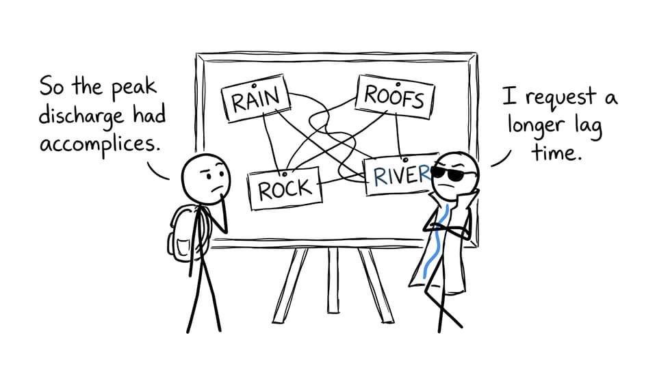
A short lag time, steep rising limb, and high peak generally indicate a rapid basin response. Never stop at that description. Explain the mechanism producing it.
Physical controls on hydrographs
Steep slopes encourage rapid surface movement. Impermeable rock restricts infiltration, while permeable or fractured material may permit more water to enter underground stores. Saturated or frozen soil also limits infiltration. Sparse vegetation reduces interception, and intense precipitation can exceed infiltration capacity.
Basin shape and size influence timing too. In a relatively compact basin, water from different tributaries may reach the main channel at similar times. Larger basins often have longer travel pathways, although no single factor should be treated as universally decisive.
Human controls on hydrographs
Urbanization replaces vegetated soil with roofs, roads, and other relatively impermeable surfaces. Drains can route water efficiently toward channels, reducing opportunities for infiltration and potentially shortening lag time. Deforestation may reduce interception and evapotranspiration, although its effects depend on soil disturbance, slope, rainfall, and later land use.
Channel modification can move water away from one location more quickly while transferring risk downstream. This is why strong answers consider the entire basin rather than one isolated river section.
How basin geography appears in IB questions
Questions may ask you to define a process, interpret a diagram, explain a hydrograph, examine flood causes, or evaluate management. The command term determines the depth of response. RevisionDojo's IB exam command terms guide is useful because describe, explain, and evaluate require different intellectual work.
Worked short-response example
Question: Explain how urbanization can increase peak discharge in a drainage basin.
A strong answer can be built as a causal chain:
Urbanization creates relatively impermeable surfaces such as roads and roofs, reducing infiltration and soil-water storage. Storm drains then transfer surface water rapidly into river channels. More water therefore reaches the channel over a shorter period, which can shorten lag time and increase peak discharge.
Notice the sequence: change, process, consequence. “Cities cause flooding” is too broad because it does not identify the hydrological mechanism.
Worked extended-response plan
Question: Evaluate the effectiveness of strategies used to reduce flood risk in drainage basins.
A focused plan might include:
- Opening judgement: effectiveness depends on flood magnitude, maintenance, cost, environmental effects, and whether risk is transferred elsewhere.
- Structural strategy: assess a dam, levee, flood wall, or channel modification using named evidence.
- Planning strategy: assess zoning, forecasting, warnings, or preparedness.
- Nature-based strategy: assess wetland restoration, afforestation, or floodplain reconnection.
- Synthesis: compare which approach works best under particular physical and social conditions.
- Conclusion: answer “how effective?” rather than merely repeating the strategies.
Use the Freshwater drainage-basin Questionbank to practise turning this outline into a timed response. RevisionDojo's guide to structuring IB answers for maximum marks can help you make each paragraph visibly answer the command term.
Common mistakes that cost marks
Listing processes without connecting them
“Interception, infiltration, throughflow, runoff” shows recall, not explanation. Use arrows in your thinking: reduced interception leads to more water reaching the surface, which may lead to faster runoff and a sharper discharge response.
Treating every factor as absolute
Impermeable surfaces often promote runoff, but antecedent moisture, rainfall intensity, drainage infrastructure, slope, and basin size still matter. Geographical explanations are strongest when they acknowledge interaction and context.
Describing a graph without evidence
Refer to visible features such as the relative peak, limb gradient, timing, and overall shape. If values and units are supplied, quote them accurately. Then explain what the pattern suggests.
Using a case study as a memorized paragraph
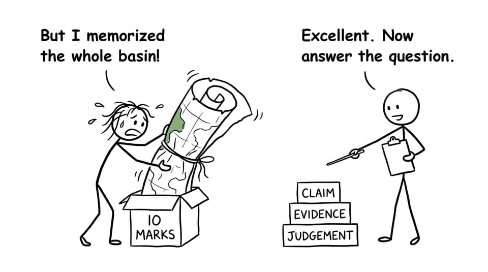
Evidence should answer the exact question. Select details relevant to the strategy, stakeholder, consequence, or scale being assessed. Do not unload every remembered fact simply because the place name appears.
Ignoring water quality and management
Freshwater study extends beyond river processes. It also includes water scarcity, quality, competing users, and management futures. Review how water scarcity affects people and ecosystems and strategies that can improve water security so your knowledge covers the full option.
Quick-reference revision summary
| If the question asks about... | Include... |
|---|---|
| Basin systems | Input, stores, transfers, outputs, and interactions |
| Flood hydrographs | Rising limb, peak discharge, lag time, recessional limb, and causes |
| Urbanization | Impermeable surfaces, drainage, reduced storage, faster transfer |
| Flood mitigation | Effectiveness, cost, scale, maintenance, equity, and transferred risk |
| Water security | Supply, demand, quality, access, governance, and sustainability |
| Evaluation | Competing evidence, explicit criteria, and a supported judgement |
Revise actively: draw the system from memory, explain one hydrograph aloud, and complete one timed question. Then diagnose the weakest link. RevisionDojo's IB Geography lessons, Study Notes, Flashcards, Questionbank, and AI Chat support that cycle, while Grading tools, Predicted Papers, Mock Exams, the Coursework Library, and Tutors help when you need deeper feedback.
Turn understanding into exam performance
A drainage basin is not difficult because it has too many terms. It is difficult because every term affects something else. Once you can trace water from precipitation to storage, transfer, discharge, and management, the topic becomes a connected story rather than a vocabulary test.
Start with one blank-page basin diagram. Add the processes from memory. Then open RevisionDojo and test the explanation under exam conditions. Knowledge becomes useful when you can retrieve it, connect it, and shape it around the question actually asked.