
A Tigris river map shows more than a blue line through West Asia. For IB DP Geography, it reveals a transboundary drainage basin in which upstream decisions affect downstream water supply, food production, energy, ecosystems, and political relationships. Your exam task is not simply to locate the river. It is to interpret the map as evidence of how physical geography and human power interact.
Tigris River Map Essentials
Before attempting an exam question, make sure you can identify these features:
- Source: the Taurus mountain region of eastern Turkey
- Direction of flow: broadly southeast from Turkey towards Iraq
- Countries directly sharing the Tigris basin: Turkey, Syria, Iraq, and Iran
- Major tributaries: the Greater Zab, Lesser Zab, and Diyala
- Important cities: Mosul and Baghdad
- Confluence: the Tigris joins the Euphrates in southern Iraq
- Final channel: the combined river becomes the Shatt al-Arab and flows towards the Persian Gulf
- Management features: reservoirs, irrigation areas, dams, cities, and national borders
This makes the Tigris relevant to drainage basin hydrology, water scarcity, river management, and internationally shared water resources within Option A: Freshwater. Students can review the wider syllabus through RevisionDojo's IB Geography resources and Freshwater drainage basin lessons.
How to Read the Map Geographically
A weak reading asks, “Where is the river?” A stronger reading asks three further questions: where does its water originate, who can control it, and who experiences the consequences?
Source, course, and outlet
The Tigris rises in eastern Turkey and descends towards the lowlands of Iraq. It briefly follows part of the Turkey-Syria boundary before entering Iraq. Tributaries flowing from mountain regions in Turkey, Iraq, and Iran add water to the main channel.
Farther south, the river passes through Baghdad before meeting the Euphrates near Al-Qurnah. Their combined flow forms the Shatt al-Arab, which drains towards the Persian Gulf.
That sequence matters because it establishes upstream-downstream relationships. Turkey occupies the upper course, while Iraq is predominantly downstream. Iran influences the system through tributaries entering from the east. Syria has only a small geographical connection to the Tigris itself, although it is much more closely connected to the wider Euphrates-Tigris system.
Basin boundaries are not political boundaries
One common misconception is that every country shown near the river contributes equally to its flow. A drainage basin is defined by topography: precipitation drains towards a shared outlet within a watershed. A national boundary is political.
A careful answer should therefore distinguish between:
- the Tigris River, meaning the main channel;
- the Tigris drainage basin, including tributaries and their catchments;
- the wider Euphrates-Tigris basin, covering both river systems;
- the Shatt al-Arab, formed after the two rivers meet.
This vocabulary prevents geographical imprecision. It also helps you explain why tributary management in one state may affect river discharge elsewhere.
Why the Tigris Matters in IB DP Geography
The IB Geography guide's Freshwater option includes drainage basin systems, water scarcity and quality, dams, integrated management, and the geopolitical consequences of pressure on shared water. The Tigris can connect these ideas within one case-study framework.
Water, food, and energy are connected
River water can support irrigation, domestic supply, industry, wetlands, and hydroelectricity. Yet one use may alter another. A dam may generate electricity and regulate discharge, for example, while also changing downstream timing, sediment transfer, or water availability.
This is the water-food-energy nexus in practical form. Irrigation supports food production, but agriculture creates demand for water. Hydroelectric generation depends on stored and flowing water, while reservoir operation may influence downstream users. RevisionDojo's guide to the water-food-energy nexus helps place these connections within the global resource security unit.
The map reveals unequal power
Upstream states can potentially influence how much water is stored, released, or diverted before it reaches downstream areas. Geography does not make conflict inevitable, but it creates an uneven starting position.
Turkey's Ilisu Dam and Iraq's Mosul Dam are useful examples of large infrastructure within the Tigris basin. In an exam, avoid claiming that all dams have identical impacts. Their consequences depend on location, operating decisions, river conditions, purpose, and the timescale being considered.
An analytical answer could argue that dams improve energy or water security for some stakeholders while transferring environmental or supply risks to others. This is stronger than treating a dam as simply “good” or “bad.” For management strategies, see ways to improve water security.
Physical pressure interacts with human decisions
The basin is exposed to variable precipitation, drought, high evaporation, rising demand, irrigation pressure, and water-quality challenges. Climate change may intensify water insecurity through changing temperature and rainfall patterns, but it should not be presented as the only cause.
Governance, infrastructure, agricultural choices, allocation, population distribution, and cooperation also shape outcomes. RevisionDojo's explanation of climate change, food, and water security is useful for building this multi-causal perspective.
Worked IB Geography Exam Example
Possible question: Using the map and your own knowledge, explain how the Tigris River's location may create challenges for freshwater management.
Start by translating the command term. Explain requires a cause, mechanism, and consequence. RevisionDojo's IB command terms guide can help you distinguish explanation from description.
A developed response might read:
The Tigris is an internationally shared river flowing from upstream Turkey into downstream Iraq, while tributaries also connect Iran to the basin. Water storage or abstraction upstream may alter the timing or quantity of flow available farther downstream. This can create management challenges because states may prioritize different goals, including hydropower, irrigation, urban supply, and ecosystem protection. Cooperation, shared hydrological data, and negotiated operating arrangements are therefore important because decisions made in one part of the basin can create consequences elsewhere.
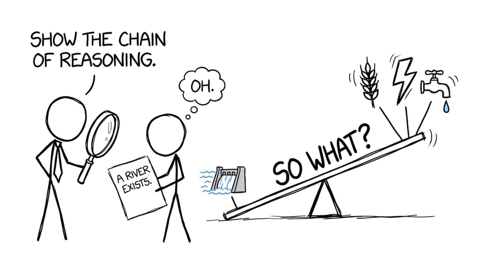
Notice the chain:
mapped location --> upstream control --> altered flow --> stakeholder impact --> need for cooperation
The map is being used as evidence rather than decoration.
For an evaluative question, add balance. Infrastructure can increase storage, regulate some flow variability, and provide energy, but benefits and costs may be distributed unevenly. Finish with a conditional judgement, such as: effective management depends less on infrastructure alone than on whether basin states coordinate releases, demand, monitoring, and environmental protection.
Common Map and Exam Pitfalls
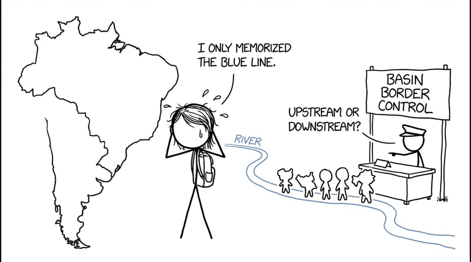
Memorizing labels without relationships
Knowing Turkey, Iraq, and Baghdad is useful, but it does not yet explain anything. Add direction, connection, and consequence: Turkey is upstream of Iraq, so upstream management may affect downstream flow.
Confusing the Tigris with the Euphrates
The rivers are part of one wider system but follow different courses. The Tigris lies farther east for much of its route and receives major tributaries associated with the Zagros region. They meet in southern Iraq rather than remaining separate to the sea.
Treating scarcity as purely physical
Low or variable supply matters, but access also depends on infrastructure, governance, affordability, allocation, and water quality. Separate physical scarcity from management and distribution problems.
Describing conflict without stakeholders
Name the actors and their priorities. Governments may pursue national water or energy security. Farmers need dependable irrigation. Urban residents require safe supply. Wetland communities and ecosystems depend on adequate flow and water quality.
Making absolute claims
Avoid sentences such as “dams stop all downstream water” or “climate change causes the conflict.” Use qualified language: may reduce, can alter, contributes to, or depends on operating policy. Geography rewards reasoned complexity.
Ignoring the command term
“Describe” identifies a pattern. “Explain” establishes why it occurs. “Evaluate” weighs evidence and reaches a justified judgement. Practise these differences using the Freshwater Questionbank.
Quick-Reference Revision Table
| Map feature | Geographical significance | Exam use |
|---|---|---|
| Mountain source in Turkey | Upper-course water originates in an upstream state | Explain power asymmetry |
| Tributaries from the east | The basin extends beyond the main channel | Discuss transboundary connections |
| Mosul and Baghdad | Large settlements depend on the river system | Link water to urban demand |
| Dams and reservoirs | Storage changes the timing and management of flow | Evaluate costs and benefits |
| Southern confluence | Tigris and Euphrates form the Shatt al-Arab | Demonstrate accurate place knowledge |
| Persian Gulf outlet | The river connects an inland basin to the sea | Explain downstream movement and outlet |
For active recall, cover the middle column and explain each relationship aloud. Then redraw a simplified Tigris river map from memory and annotate it with upstream, downstream, tributary, dam, city, and stakeholder. RevisionDojo's Freshwater flashcards can reinforce the terminology.
Turn Map Knowledge Into Exam Marks
A river map becomes valuable when you can move from location to process, stakeholder, impact, and evaluation. Learn a small number of accurate labels, then practise turning each label into a causal chain.
RevisionDojo brings that process together. Use Study Notes and video lessons to understand the basin, Flashcards to retrieve locations and concepts, and the Questionbank to apply them. AI Chat and Grading tools can identify where your explanation stops too early. Predicted Papers and Mock Exams build timing, while the Coursework Library and Tutors provide deeper support when you need to develop geographical analysis.
The goal is not to memorize every bend in the river. It is to see what the map quietly reveals: water moves downhill, but power, risk, and responsibility rarely move so evenly.