

In IB Geography, drainage basin hydrology can feel like one of those topics that’s “just definitions” until you meet it in an exam question. Then it becomes a story about speed: how fast water moves, where it gets delayed, and why one rainfall event creates a gentle rise in river flow while another produces a sudden flood peak.
A drainage basin is an open system. Water enters as precipitation, is stored in vegetation/soil/groundwater, moves through a set of transfers, and leaves mainly as river discharge. Your job in IB Geography is to name the key processes, then link them to river response and flood risk.
Drainage basin hydrology: quick exam checklist (IB Geography)
Use this as a fast plan before you write:
-
Interception (vegetation temporarily holds water)
-
Infiltration (water soaks into soil)
-
Percolation (downward movement to groundwater)
-
Surface runoff / overland flow (fast pathway to the channel)
-
Throughflow (lateral flow through soil downslope)
-
Groundwater flow / baseflow (slow, long-term contribution)
-
River discharge (output measured over time)
For a full syllabus pathway, start with IB Geography Option A: Freshwater: Drainage Basins.
Interception and evapotranspiration: the “missing” water (IB Geography)
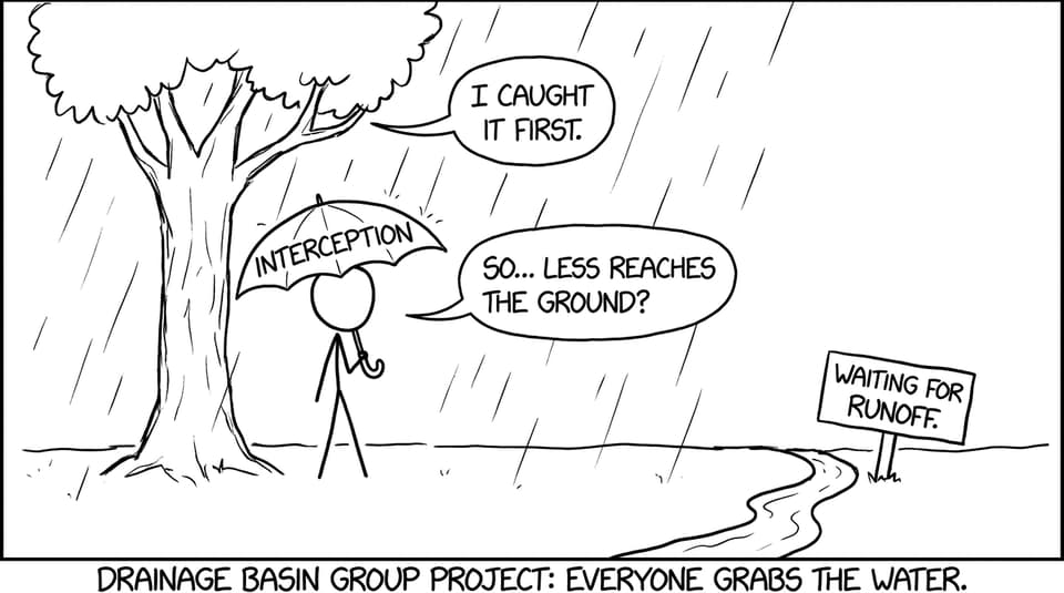
Interception happens when leaves, branches, and stems catch precipitation before it hits the ground. In IB Geography, it’s a simple idea with big consequences: the more water held in the canopy, the less immediate input reaches the soil surface, so runoff is delayed.
Some intercepted water later drips as throughfall, but some is lost to the atmosphere through evaporation. Pair interception with evapotranspiration and you get a powerful explanation for why dense vegetation can reduce peak river discharge and lower erosion.
To revise the drainage basin as a system of inputs, stores, and outputs, use A.1 Drainage basin hydrology and geomorphology.
Infiltration and percolation: deciding whether water rushes or rests (IB Geography)
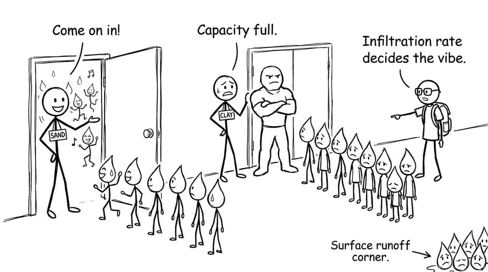
Infiltration is water soaking into the soil. The infiltration rate depends on soil texture (sand vs clay), antecedent moisture (already wet or dry), vegetation/root structures, and rainfall intensity.
When rainfall intensity exceeds infiltration capacity, water is forced into surface runoff, a fast transfer that reaches channels quickly. After infiltration, percolation moves water down into groundwater storage. This matters in IB Geography because groundwater supports baseflow, keeping rivers running during drier periods.
If you want structured practice that mirrors exam phrasing, the A.1 Questionbank is ideal for turning process definitions into explanation marks.
Surface runoff and throughflow: the two-speed delivery system (IB Geography)
Surface runoff is the express lane: quick movement of water over the surface into the channel, often causing a steep rising limb on a hydrograph and increasing flood risk. Urban areas exaggerate this because impermeable surfaces reduce infiltration.
Throughflow is the middle lane: water moves laterally through the soil downslope toward the river. It’s slower than runoff but faster than groundwater flow, so it often sustains elevated discharge after peak rainfall has passed.
To connect basin processes to the wider flood topic, see A.2 Flooding and flood mitigation and for strategies in exam language, read What Strategies Are Used to Manage Flood Risk?.
River discharge and storm hydrographs: where IB Geography marks live
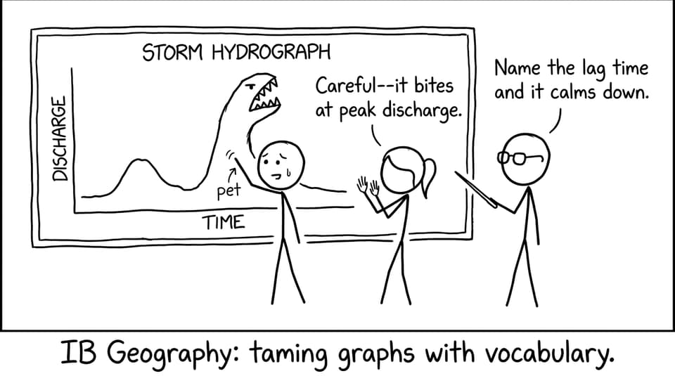
River discharge is the volume of water passing a point per unit time (commonly m³/s). Discharge patterns are often shown with storm hydrographs, which translate hidden processes (infiltration vs runoff, throughflow vs baseflow) into a visible curve.
When you revise storm response, pair this post with How Do Storm Hydrographs Show River Response to Rainfall? and practise definitions with A.2.1 Hydrograph Characteristics Notes.
Bring it home: turn IB Geography processes into exam-ready explanations
Drainage basin hydrology isn’t about memorising a list. In IB Geography, it’s about telling the river’s timeline: interception delays, infiltration decides pathways, percolation builds groundwater, and runoff/throughflow control how quickly discharge rises.
To consolidate quickly, use RevisionDojo’s A.1 Notes on drainage basin hydrology and geomorphology and reinforce recall with the A.1 Flashcards. Then test yourself with the Questionbank, build confidence with Mock Exams and Predicted Papers, and use AI Chat and Grading tools to tighten your explanations into mark-friendly language. That’s how IB Geography content becomes something you can actually deploy under time pressure.