

Geophysical hazards don’t ask if you’re ready.
One quiet morning can turn into ground shaking, sirens, and a map you suddenly wish you had studied harder. That’s why IB Geography treats reducing risk from geophysical hazards as more than content -- it’s a way of thinking: hazards are inevitable, disasters are not. For exams, your job is to explain how societies lower risk by reducing vulnerability and exposure, while strengthening preparedness and resilience.
If you want the syllabus-aligned pathway, start with IB Geography Option D: Geophysical Hazards and build from there.
The exam-ready checklist for risk reduction (IB Geography)
Use this quick structure in IB Geography essays and 10-mark questions:
-
Monitoring + warning (especially effective for volcanoes)
-
Land-use planning (zoning, hazard maps, relocation)
-
Building design + engineering (codes, retrofitting)
-
Preparedness + education (drills, risk communication)
-
Emergency response (search and rescue, health services)
-
Resilience + inequality (capacity to cope differs by income/governance)
For focused practice on these command terms, try the Option D Questionbank.
Monitoring and early warning: turning minutes into lives saved
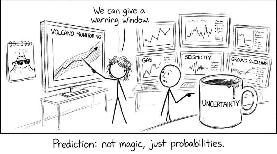
In IB Geography, monitoring is often your strongest “high-tech” paragraph. Scientists track seismicity, ground deformation, and gas emissions to judge whether a hazard is escalating. Earthquakes remain extremely difficult to predict precisely, but early warning systems can still provide valuable seconds or minutes of notice, enough to stop trains, shut down gas lines, and prompt protective actions.
Volcano monitoring is often more effective because magma movement can show clearer warning signs. To tighten your terminology and examples, revise D.2 using Geophysical hazard risks (D.2) and reinforce it with Option D Flashcards.
Land-use planning: reducing exposure before the hazard arrives
Land-use planning is the quiet hero of risk reduction. In IB Geography, it’s also a great evaluation point because it’s long-term, cost-effective, and politically difficult.
Hazard maps and zoning laws can restrict development on fault lines, unstable slopes, and tsunami-prone coastlines. Relocation and coastal setback zones reduce exposure by keeping people and key infrastructure out of the highest-risk locations. The trade-off is real: housing pressure, land values, and short-term economic priorities often push settlement back into danger.
Building codes and retrofitting: engineering as disaster prevention
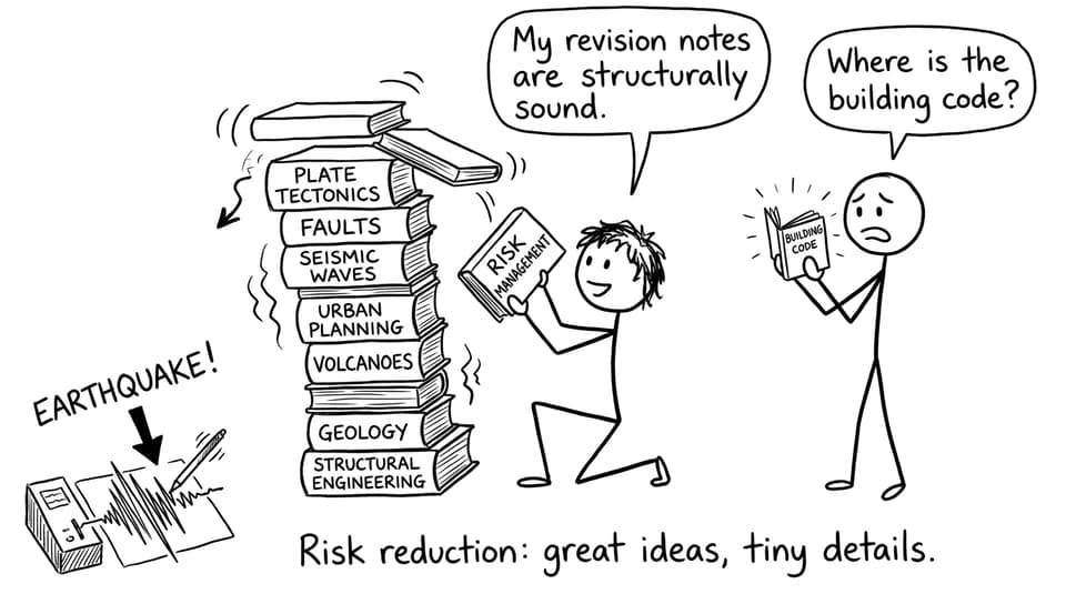
When earthquakes strike cities, deaths often come from building collapse. So IB Geography expects you to connect risk reduction to building design: flexible materials, reinforced frames, base isolation, and strict enforcement.
Retrofitting older buildings can be one of the highest-impact strategies, especially schools, hospitals, and bridges. The key exam insight: design isn’t just “technology,” it’s governance -- codes only work if they’re enforced.
Preparedness, education, and response: the human side of risk
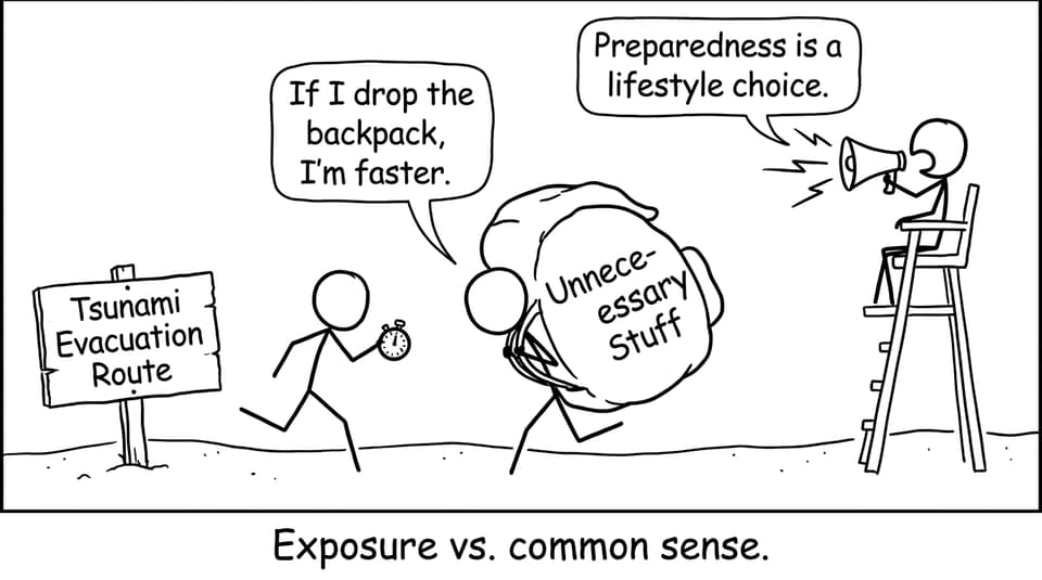
Preparedness turns information into behaviour. Evacuation drills, public education, and clear risk communication help people respond quickly under stress. Knowing what to do in the first minute can prevent panic from becoming a secondary hazard.
Emergency response then shapes survival and recovery: search and rescue capacity, medical access, coordination, and communication networks. For exam comparisons, link this to development and inequality (why some places recover faster than others). For a clean short vs long-term structure, see Responses to Geophysical Hazards and connect it to development impacts via Geophysical Hazards and Development.
Inequality and resilience: what IB Geography really tests
A top-band IB Geography answer doesn’t just list strategies. It judges who can afford them.
High-income countries are more likely to invest in dense monitoring networks, strict building codes, and trained emergency services. Low-income countries may rely more on community-based preparedness, education, and external support. Resilience is the ability to absorb shocks, recover quickly, and adapt -- and it grows through institutions, trust, and long-term planning.
To strengthen your case study paragraphs, use D.3.1 Case Studies of Geophysical Hazards alongside the linked Case Studies Notes.
Bringing it together for IB Geography exam marks
Reducing risk from geophysical hazards in IB Geography is about turning big forces into smaller consequences: better warnings, smarter planning, safer buildings, trained responses, and resilience that outlasts the headlines.
When you’re ready to practise this like an examiner expects, RevisionDojo is built for it: syllabus-aligned Study Notes, targeted Flashcards, an exam-style Questionbank, AI Chat for explanations, and Grading tools to sharpen structure. Add Predicted Papers and Mock Exams for timed practice, then use the Coursework Library and Tutors when you want feedback that actually changes your next answer. That’s how IB Geography revision becomes confident, not just complete.