

If you have ever watched a river rise after days of rain, you know the uncomfortable truth at the heart of IB Geography: floods are not just “natural events” -- they are outcomes shaped by choices. Choices about where we build, how we manage land, and which risks we accept on behalf of others.
In IB Geography, flood risk management sits neatly inside Option A: Freshwater -- Drainage Basins. But in the exam, it is rarely “neat.” The best responses show that managing flood risk is a balancing act between protection, cost, sustainability, and unintended consequences.
IB Geography quick checklist: what to cover in flood risk management
Use this mini-structure for any IB Geography short answer or evaluation paragraph:
-
Define flood risk management (reduce likelihood and/or impacts)
-
Categorise strategies: hard engineering, soft engineering, planning-based approaches
-
For each: one clear advantage, one clear limitation
-
Finish with a “best-fit” judgement: strategies must match the place and scale
For topic-aligned notes and practice, start with A.2 Flooding and flood mitigation and the companion A.2.4 Flood Mitigation Strategies Notes.
Hard engineering strategies (control the river)
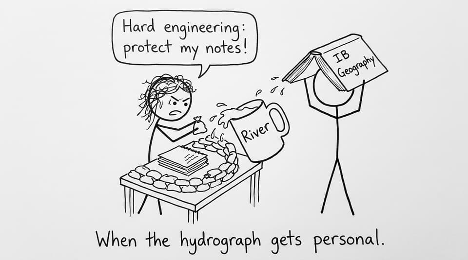
Hard engineering aims to reduce flood risk by physically changing discharge, channel capacity, or flow speed.
Dams and reservoirs
Dams store water during high rainfall and release it more gradually, lowering peak discharge downstream. In IB Geography, the evaluation is where marks hide: dams can be expensive, can displace communities, and can disrupt sediment flow and ecosystems.
Embankments and levees
Raised banks increase channel capacity and can protect valuable floodplain land. But they can transfer risk downstream by increasing flow speed. And if an embankment fails, flooding can be sudden and severe.
Channelisation
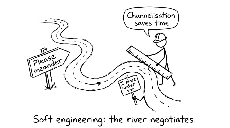
Straightening, deepening, or lining channels moves water through a reach faster, reducing local flood frequency. The trade-off is classic IB Geography: risk may be displaced downstream, and habitats can be damaged.
To connect these strategies to drainage basin processes, review How Do Drainage Basins Function as Systems? so you can link “stores and flows” to actual flood mitigation decisions.
Soft engineering strategies (work with the system)
Soft engineering reduces flood risk by reducing runoff, increasing storage, or lowering exposure.
Floodplain zoning
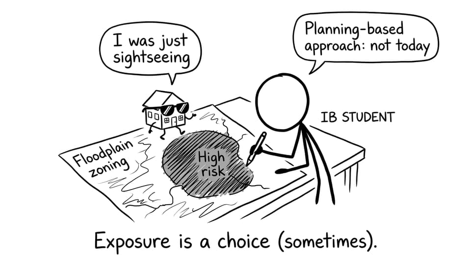
Floodplain zoning restricts development in high-risk areas, lowering vulnerability and keeping natural flood storage intact. The limitation is political and economic: land is valuable, and restrictions can face pushback.
Afforestation and river restoration
Planting trees increases interception, infiltration, and evapotranspiration while stabilising soils. Restoring meanders increases channel length, reduces velocity, and can create space for storage. These are more sustainable, but they often take time to deliver full benefits.
Flood warnings and preparedness
Warnings do not stop floods, but they reduce loss of life and limit damage by enabling evacuation and emergency planning. In exam evaluation, note the equity point: warnings only work when people have the resources and trust to respond.
If you want to explain why some basins are “flashier” than others (and why mitigation differs), pair this with What Factors Influence Flood Risk in Drainage Basins?.
Planning-based approaches (manage risk, not just water)
Planning-based approaches accept that flooding cannot be eliminated and focus on reducing overall risk through coordination.
Integrated flood management
This means combining strategies at the drainage basin scale: land-use planning, selected engineering, ecosystem restoration, and community preparedness. In IB Geography, this helps you write the strongest conclusion: no single method is “best” everywhere.
A practical way to study this is to build a mixed-strategy plan, then test it with exam-style prompts using the A.2 Flooding and flood mitigation Questionbank.
How to turn flood risk management into exam marks in IB Geography
A strong IB Geography answer does two extra things:
-
Uses the language of trade-offs: “protects here, increases risk there,” “effective short term, less sustainable long term.”
-
Anchors to evidence and scale: local channelisation vs basin-wide land management.
To make your evaluation sharper, build quick case-study skeletons using IB Geography Case Studies: A Comprehensive Exam Guide and revise them efficiently with Easiest IB Geography Case Studies for Exams.
Conclusion: the best flood strategy is rarely a single strategy
Flood risk management in IB Geography is really a story about trade-offs: hard engineering can protect high-value areas quickly, soft engineering can reduce runoff and support ecosystems, and planning helps society decide what “acceptable risk” looks like.
If you want these strategies to feel exam-ready, RevisionDojo brings them together in one workflow: Study Notes to understand, Flashcards to retain, AI Chat to clarify, Questionbank and Mock Exams to practise under time pressure, and Grading tools to tighten evaluation. Start from the IB Geography Resources hub and focus your next session on flood risk management until your explanations sound simple -- because you understand them.