
Some risks are loud: a cyclone on the news, a wildfire sky turned orange. Others are quieter: a failed harvest, a slow creep of salt into farmland. In IB Geography, the real insight is that climate change isn’t “equal-opportunity” chaos. It lands hardest where physical exposure is high, livelihoods are sensitive, and the tools to adapt are thin.
IB Geography quick checklist: what to write under pressure
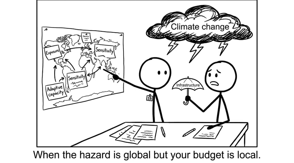
If a question asks why vulnerability varies, anchor your answer in IB Geography with this triangle:
-
Exposure: What hazards hit, and how often? (sea level rise, drought, storms)
-
Sensitivity: How dependent is the region on climate-sensitive systems? (rain-fed farming, fisheries)
-
Adaptive capacity: How much money, governance, technology, and planning exist to respond?
For exam practice on this exact unit, use RevisionDojo’s Global Climate: Vulnerability and Resilience topic hub and the matching Questionbank for exam-style prompts.
Location: the physical geography sets the trap
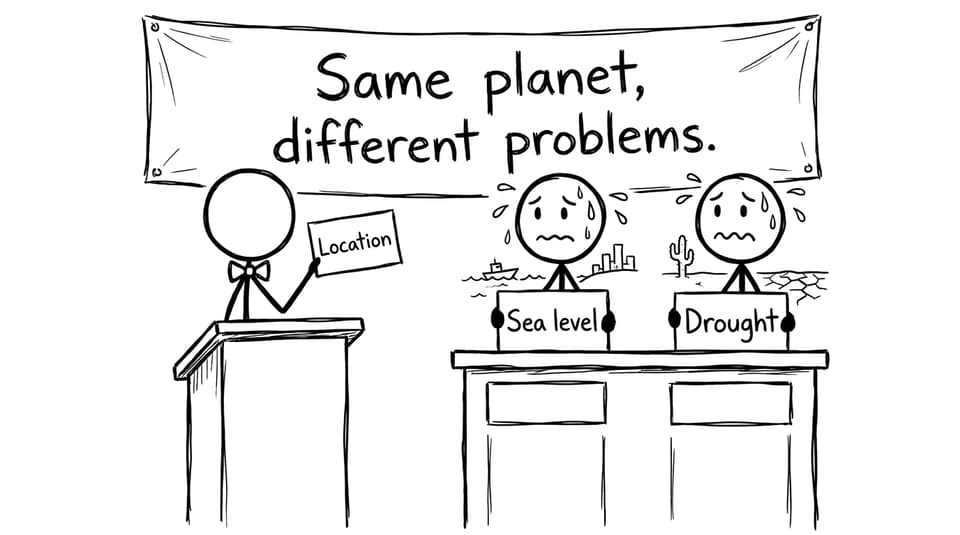
Some places start the climate race with their shoelaces tied together. Low-lying coasts, river deltas, and small island states face sea level rise, storm surges, and coastal flooding. Arid and semi-arid regions face intensifying water stress as temperatures rise and rainfall becomes more variable. Mountain regions can face changing snowfall and meltwater timing, creating short-term flood risk and long-term supply problems.
This is the simplest IB Geography logic: where hazards are more intense or frequent, exposure rises. The region doesn’t need to “do something wrong” to be at risk. Its latitude, topography, and coastal position can be enough.
Development: the same hazard can cause different outcomes
Two regions can experience the same storm and record completely different impacts. In lower-income countries, larger shares of the population often rely on agriculture, fishing, and informal work. These are climate-sensitive livelihoods with little financial buffer. If the harvest fails, the knock-on effects hit nutrition, schooling, and debt.
Wealth matters because it buys options: stronger buildings, diversified economies, and recovery funding. This is also why vulnerability links to wider themes like inequality and climate justice. To build sharper examples, RevisionDojo’s IB Geography case study guide helps you turn “general theory” into named places and evaluative lines.
Adaptive capacity: governance is the hidden variable
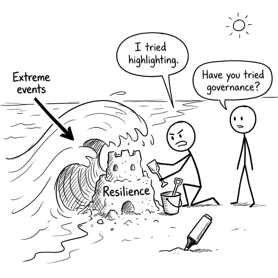
Adaptive capacity is where human systems show their quality. Early warning systems, healthcare access, insurance, infrastructure maintenance, and long-term planning can turn disasters into disruptions instead of catastrophes. Weak institutions, corruption, or conflict can do the opposite: even smaller shocks become crises.
In IB Geography, this is your evaluation zone. You can weigh how adaptation strategies (coastal defences, land-use zoning, water management, community preparedness) reduce risk, while noting limits like cost, time, or maladaptation. RevisionDojo’s explainer on adaptation strategies and climate resilience is a strong link for those “to what extent” conclusions.
What this looks like in an exam paragraph (mini template)
A high-scoring IB Geography paragraph often reads like: hazard change -> exposure -> sensitivity -> adaptive capacity -> judgement. You can also connect to broader impacts like food and water security or climate as a global risk multiplier.
Closing: the point IB Geography wants you to see
Climate change vulnerability is unequal because the world is unequal. Geography shapes exposure, economies shape sensitivity, and institutions shape the ability to adapt. If you can explain that chain clearly in IB Geography, you can handle almost any vulnerability question.
When you’re ready to practise, RevisionDojo is built for it: the Questionbank for exam-style repetition, Study Notes and Flashcards for fast recall, AI Chat for refining explanations, and grading tools to turn practice into marks. Use the same triad every time, and your answers start to feel inevitable.