
Geophysical systems sound tidy in the syllabus, like something you could fold into a notebook pocket. Then you watch a video of a city shaking, a coastline lifting, or an ash cloud rewriting flight plans, and you realise the “system” is just our neat label for messy power.
In IB Geography, geophysical systems matter because they explain patterns: why hazards cluster in certain places, why they behave differently, and why one event can trigger a chain reaction. If you can describe the system clearly, your hazard answers stop sounding like a list and start reading like an explanation.
IB Geography quick checklist: what examiners want
When a question asks about geophysical systems in IB Geography, hit these points:
-
Internal structure (crust, mantle, core) as the setting
-
Energy transfers (heat moving outward) as the driver
-
Plate tectonics as the mechanism (movement at the surface)
-
Plate boundaries as the pattern (where hazards cluster)
-
Feedback loops and secondary hazards as the complexity
-
Different timescales (slow buildup, sudden release)
-
Human interaction (exposure, vulnerability, capacity)
For a syllabus-aligned map of the whole unit, start at IB Geography Option D: Geophysical Hazards.
Energy transfer is the engine of geophysical systems
A defining characteristic of geophysical systems is that they are powered by energy transfers from Earth’s interior toward the surface. In practical terms, it means heat generated deep inside the planet is not “stuck” down there. It moves. That movement helps drive convection in the mantle, and convection helps move tectonic plates.
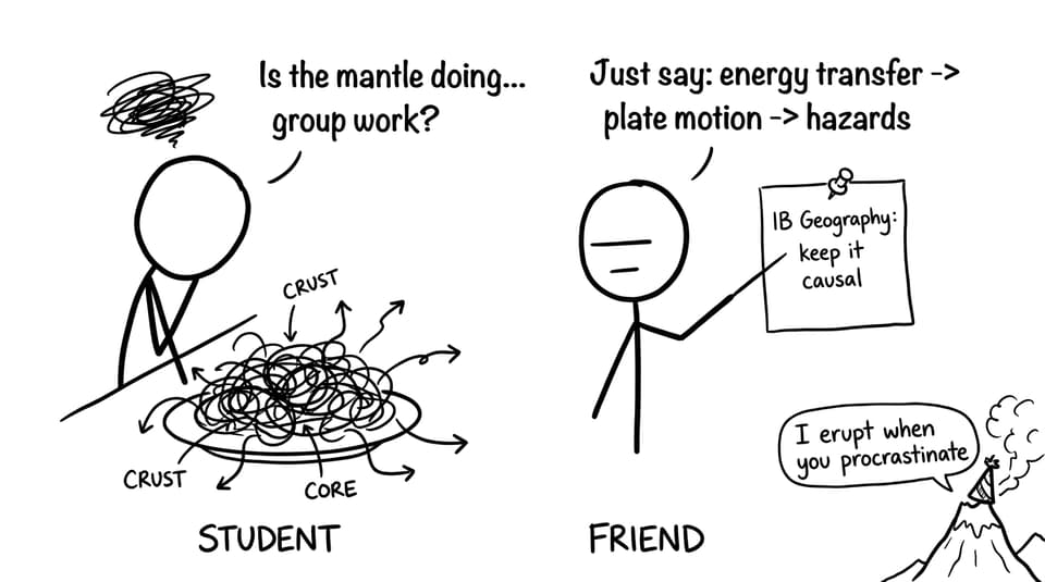
In IB Geography, this is a high-value sentence because it links cause to effect: internal heat -> convection -> plate motion -> hazards. If you want to practise turning that chain into exam language, use the Option D Questionbank and write answers that always begin with the driver (energy) before naming the hazard.
Plate boundaries shape where hazards happen (and how)
Another major characteristic of geophysical systems is spatial pattern. Hazards are not random dots. They cluster, especially along tectonic plate boundaries, because that’s where stress accumulates and is released.
-
Convergent (destructive) boundaries: plates collide, often involving subduction. Stress can lock for long periods, then release as major earthquakes; melting can feed explosive volcanoes.
-
Divergent (constructive) boundaries: plates separate, magma rises, and volcanic activity is often more effusive; earthquakes tend to be shallower.
-
Transform boundaries: plates slide past each other, building friction and generating earthquakes.
To revise distribution clearly (and pick up usable phrasing), see D.2.1 Distribution of Geophysical Hazards Notes and the broader Option D Notes. For an explanation-focused version, How Do Tectonic Plate Boundaries Create Hazards? is a clean model for exam structure.
Feedback loops and secondary hazards make the system “systemic”
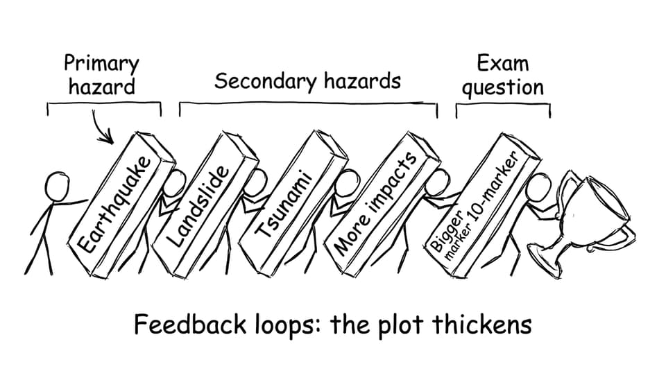
Geophysical systems also have interconnections. One hazard can amplify another, or create new hazards. Earthquakes can trigger landslides, liquefaction, and tsunamis. Volcanic eruptions can produce lahars, ash fall, and short-term atmospheric effects.
This matters in IB Geography because higher-mark questions reward students who move beyond “a volcano erupted” into a sequence. If you can show the domino effect, you’re showing systems thinking.
Geophysical systems run on multiple timescales
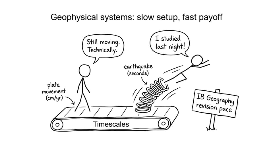
A tricky (but examinable) characteristic is timescale contrast. Plates shift at centimetres per year, yet an earthquake releases energy in seconds. Volcanoes may build pressure over months or decades, then erupt in hours.
This is why hazards can feel unpredictable even though the underlying processes are long-term. Your job in IB Geography is to hold both truths in one paragraph: slow tectonic change, sudden hazard events.
Humans don’t cause the hazard, but they shape the disaster
A final characteristic is interaction with human systems. A similar magnitude earthquake can produce very different outcomes depending on building quality, governance, preparedness, and public education. Where people live (exposure) and how resilient they are (capacity to cope) shapes risk.
To deepen that angle, read Why Are Some Areas More Vulnerable to Geophysical Hazards Than Others? and pair it with Responses to Geophysical Hazards and Future Challenges in Managing Geophysical Hazards. These help you add evaluation, not just description.
Bringing it together (and revising it faster)
The characteristics of geophysical systems are the logic underneath hazards: energy transfer, plate motion, boundary interactions, feedback loops, and multiple timescales, shaped in the real world by human vulnerability. In IB Geography, that’s exactly what turns a decent answer into a convincing one.
If you want to revise this topic efficiently, RevisionDojo is built for it: use the Study Notes to lock in the causal chains, Flashcards for definitions and boundary types, the Questionbank for exam-style practice, and AI Chat plus grading tools to polish explanations. When you’re ready to simulate the pressure, use Mock Exams and Predicted Papers to train timing and structure, and dip into the Coursework Library or Tutors when you need targeted support. The system is complicated, but your revision strategy doesn’t have to be.