
A basin that used to behave (until we moved in)
You know that feeling when a topic seems calm in your notes, then you meet an exam question and everything spikes? That’s drainage basins in IB Geography. On paper, a drainage basin is a tidy open system: inputs come in, stores hold water, flows move it, and outputs leave the basin. In real life, human activities keep grabbing parts of the system and turning the dials.
If you can explain which dial changed (infiltration, interception, lag time, groundwater storage, channel capacity), you’re already writing at a high IB Geography level.
Quick exam checklist (what to link every time)
When you see “human activities” + “drainage basin systems” in IB Geography, link the activity to:
-
Inputs: precipitation isn’t changing, but effective rainfall might (less interception)
-
Stores: vegetation, soil moisture, groundwater, channel storage
-
Flows (transfers): infiltration, percolation, surface runoff, throughflow
-
Outputs: discharge, evapotranspiration
-
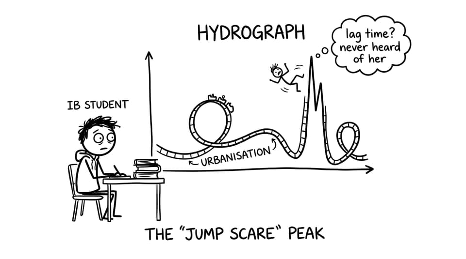
Storm hydrograph changes: shorter lag time, higher peak discharge, “flashier” response
For a system refresher, pair this with How Do Drainage Basins Function as Systems? and the core syllabus hub for IB Geography Option A Freshwater: Drainage Basins.
Urbanisation: impermeable surfaces, faster transfers
Urbanisation is the classic IB Geography example because it changes flows immediately. Concrete, rooftops, and asphalt reduce infiltration and increase surface runoff. Add storm drains and engineered channels, and water is transferred to the river far more quickly.
What that means in exam language:
-
Lag time decreases because runoff reaches the channel faster
-
Peak discharge increases because more water arrives at once
-
Flood risk often rises, especially in intense rainfall events
If you want practice that mirrors markschemes, build sets from the Option A Questionbank and test definitions using the Option A Flashcards.
Deforestation: less interception, more erosion, a messier channel
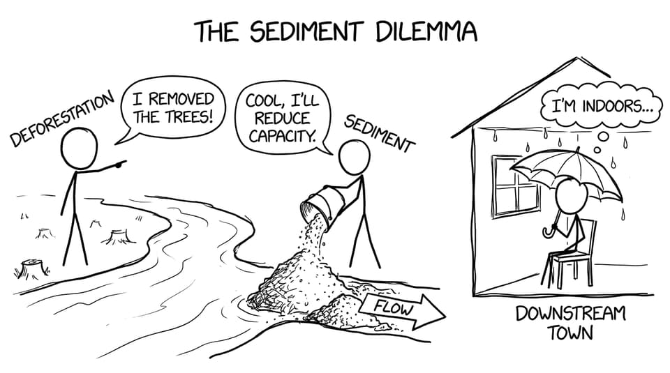
Forests are like the basin’s shock absorbers. In IB Geography, deforestation reduces interception and weakens soil structure (fewer roots, more compaction over time). That increases surface runoff and accelerates erosion.
The underappreciated step is sediment: more sediment moved into the channel can reduce channel capacity, which can raise flood risk downstream because the river has less space before it overtops.
To connect this to hydrographs and terminology, revise with Notes for A.2.1 Hydrograph Characteristics.
Agriculture: compaction, drainage, and vegetation removal
Agriculture can push a basin toward faster runoff in several ways:
-
Soil compaction from machinery lowers infiltration capacity
-
Field drains speed water transfer to channels (reducing lag time)
-
Overgrazing strips vegetation, reducing interception and increasing erosion
In IB Geography essays, agriculture is a great “in-between” example: not as instantly impermeable as a city, but still capable of producing a flashier hydrograph when soil becomes compacted and bare.
River management: dams, channelisation, and risk transfer
Human management can either slow water down or shove it downstream faster.
Dams and reservoirs
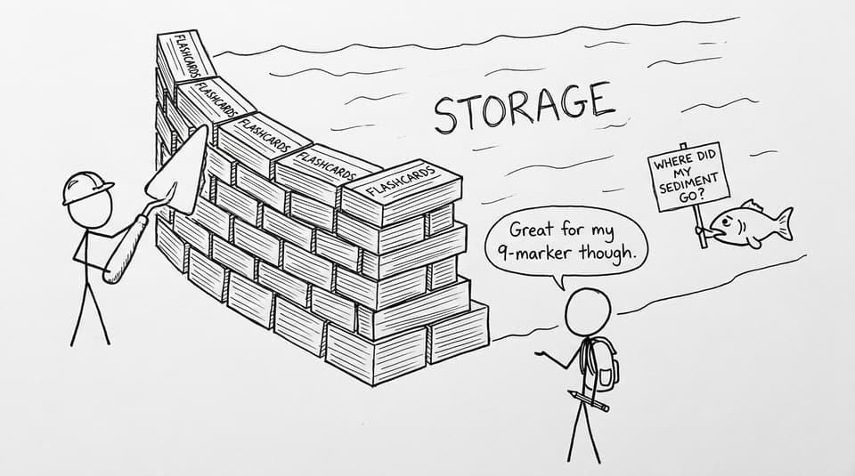
Dams increase storage within the basin and can regulate discharge, often lowering peak flows downstream during certain events. But they also modify the natural flow regime and disrupt sediment transport, which can increase erosion downstream due to “hungry water” that carries less sediment.
Channelisation and embankments
Straightening channels and adding embankments can increase channel capacity locally and move water through quickly. In IB Geography, this is where you earn marks by using the phrase risk transfer: you may reduce risk in one place while increasing it downstream.
For deeper synthesis revision, see Notes for A.5.1 Spatial Interactions in Drainage Basins.
Water abstraction: shrinking stores and weakening baseflow
When humans extract water for domestic use, farming, or industry, they reduce river discharge and can lower groundwater stores. During dry periods, reduced groundwater storage can reduce baseflow, increasing water stress and ecosystem impacts.
To strengthen your evaluation, connect abstraction to competing demands and management futures via the wider IB Geography Resources hub.
Bring it home: turn impacts into exam marks
Human activities alter drainage basin systems by reshaping stores, speeding or slowing flows, and changing the discharge that leaves the basin. If you can move smoothly from “urbanisation” to “reduced infiltration” to “shorter lag time and higher peak discharge,” you’re thinking like an IB Geography examiner.
To lock it in, use RevisionDojo’s Questionbank, Study Notes, and Flashcards, then refine explanations with AI Chat and the Grading tools. When you’re ready to simulate exam pressure, build Mock Exams and try Predicted Papers for targeted practice. Your goal isn’t to memorise impacts; it’s to explain the system.