
A hook you can feel on your skin
Stand on a coastline for five minutes and you’ll notice something weird: the sea looks calm, but it’s quietly negotiating with the sky. Heat moves. Water evaporates. Winds shift. And weeks later, someone on the other side of the planet complains about drought or flooding.
That invisible negotiation is exactly what IB Geography means by ocean-atmosphere interactions. In Option B (Oceans and Coastal Margins), these interactions are the engine behind many climate patterns you’re expected to explain clearly, quickly, and with precision under exam pressure.
The exam checklist (learn this, then expand)
If you can explain these five links, you can usually handle any IB Geography question on climate patterns:
-
Heat exchange between ocean surface and air
-
Evaporation, condensation, and precipitation
-
Ocean currents transporting energy (warm vs cold currents)
-
Pressure belts and prevailing winds shaping circulation
-
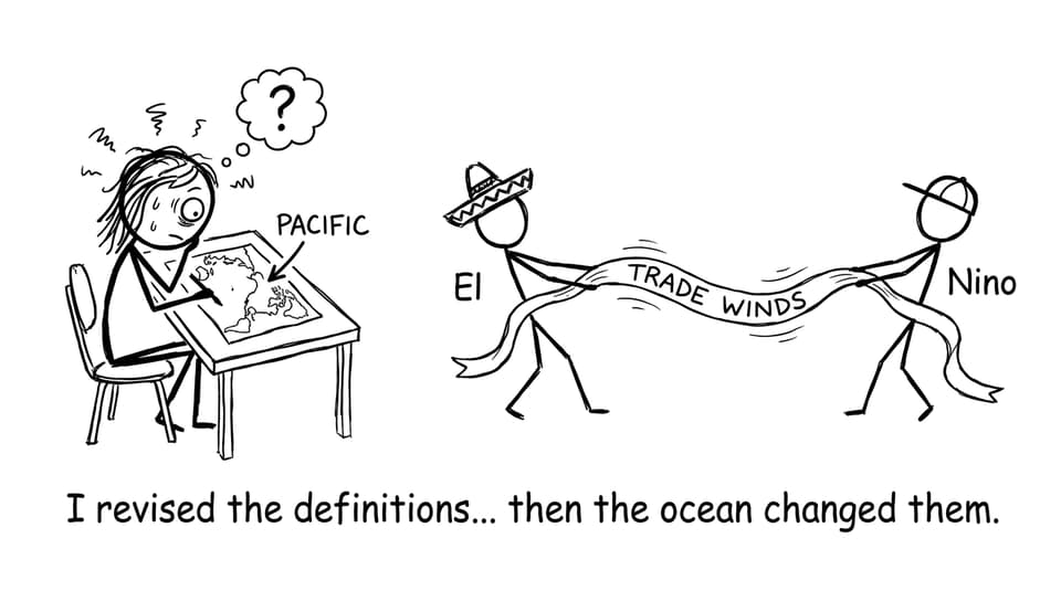
ENSO variability (El Niño and La Niña) disrupting “normal” patterns
For syllabus-aligned practice, start with IB Geography Resources and then lock onto the exact Option B pages.
Heat exchange: why warm water becomes weather
Oceans store solar energy efficiently because water has a high specific heat capacity. In IB Geography, this matters because the ocean surface can act like a slow-release battery for the atmosphere.
When tropical ocean water warms, it heats the air above it. Warm air expands, becomes less dense, and rises, creating low pressure. Rising air cools, water vapor condenses, clouds form, and rainfall becomes more likely. That’s why many coastal and island regions near warm seas experience humid conditions and frequent precipitation.
To connect this to the wider climate system, pair it with atmospheric energy ideas from The Atmospheric System and Energy Balance Notes.
Ocean currents: the planet’s moving conveyor of temperature
If the ocean only stored heat, climate would be locally predictable but globally uneven. Currents solve that by redistributing energy.
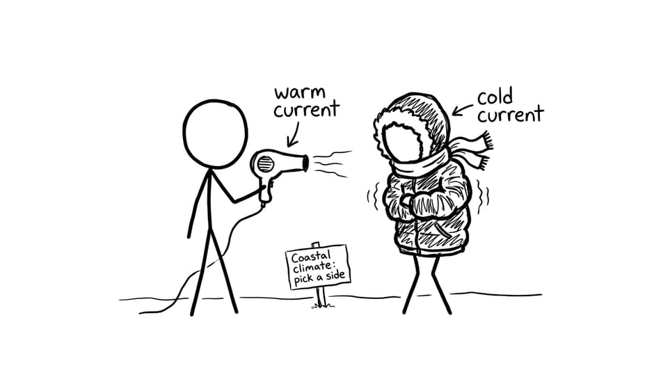
Warm currents carry heat away from the equator toward higher latitudes, often moderating coastal climates and increasing moisture availability. Cold currents move cool water toward lower latitudes, chilling the air above them and reducing evaporation. That’s one reason some west-coast subtropical regions can be strikingly dry: cool water limits humidity, clouds, and rainfall.
For a tight, exam-friendly explanation, revise currents with B.1.1 Ocean Currents and the Oceanic Conveyor Belt Notes and then add examples using Oceans and the Global Climate System.
Winds and pressure systems: the steering wheel of the ocean surface
Surface winds don’t just respond to pressure patterns; they actively shape ocean circulation. Trade winds, for example, push surface waters, helping maintain large-scale circulation patterns.
In IB Geography essays, you can score well by showing the two-way link: winds drive surface currents, and sea-surface temperatures then influence pressure and rainfall patterns above the ocean. This is the kind of “system thinking” examiners reward.
To keep your Option B revision organised, use the hub pages for IB Geography Option B: Oceans and Coastal Margins and the matching Option B Questionbank.
ENSO: the climate pattern that turns revision notes into reality
ENSO (El Niño-Southern Oscillation) is the headline example of ocean-atmosphere interactions creating climate patterns.
In “normal” conditions, trade winds push warm surface water westward across the Pacific, supporting upwelling of cooler, nutrient-rich water near South America. During El Niño, trade winds weaken or reverse. Warm water shifts eastward, changing where evaporation and convection happen, which then shifts rainfall patterns. Some regions experience floods; others face drought. La Niña is the opposite phase, with stronger trade winds and enhanced upwelling, often intensifying “normal” patterns.
Build a crisp case-linked explanation using B.1.2 ENSO and La Niña Cycles Notes or the overview page B.1.2 ENSO and La Niña Cycles.
How RevisionDojo helps you turn processes into marks
Knowing the story is useful. But IB Geography marks come from structure: clear chains of cause and effect, accurate keywords, and exam-style phrasing.
RevisionDojo helps you practise that translation using Study Notes, Flashcards, and AI Chat to rehearse explanations, plus Grading tools to tighten evaluation. When you’re ready to simulate pressure, use Mock Exams and Predicted Papers, then target weak spots with the Questionbank. If you want feedback on your reasoning, Tutors can help you turn “I kind of get it” into “I can write it.”
For more reading, browse All IB Geography Posts and extend your systems thinking with 2.1.4 Synthesis and Evaluation Notes.
Conclusion: the simplest way to remember it
Ocean-atmosphere interactions create climate patterns because the ocean stores and moves heat, the atmosphere moves moisture, and winds connect the two into a single system. When one part shifts (like ENSO), the whole pattern can rearrange fast.
If you’re revising IB Geography, your goal is to explain that system in clean steps, then prove it with one strong example. Open RevisionDojo’s Option B notes, drill the definitions with Flashcards, and practise the exact wording in the Questionbank until the climate story becomes automatic.