
Integrity in IB Geography starts with a small choice
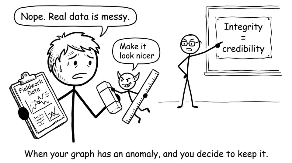
On the day you collect fieldwork data, you almost always meet an uncomfortable truth: the world refuses to behave like the tidy patterns in a textbook.
A pedestrian count spikes for no clear reason. A survey response contradicts your hypothesis. Rain turns a planned microclimate transect into a puddle tour. And right there, in that moment, IB Geography asks a quiet question that matters more than your trend line: Will you report what happened, or what you wish happened?
Integrity in IB Geography is not just about avoiding plagiarism. It is the skill of describing reality without sanding off its rough edges. It is ethical research, careful citation, and honest data representation, even when the evidence is inconvenient.
Quick integrity checklist for IB Geography (save this)
Before you submit an IA draft, a practice response, or even a set of revision notes, run this fast integrity scan:
-
Did I collect data ethically (consent, safety, minimal harm)?
-
Did I record results exactly as observed (including anomalies)?
-
Are my graphs/maps scaled and labelled fairly (no visual manipulation)?
-
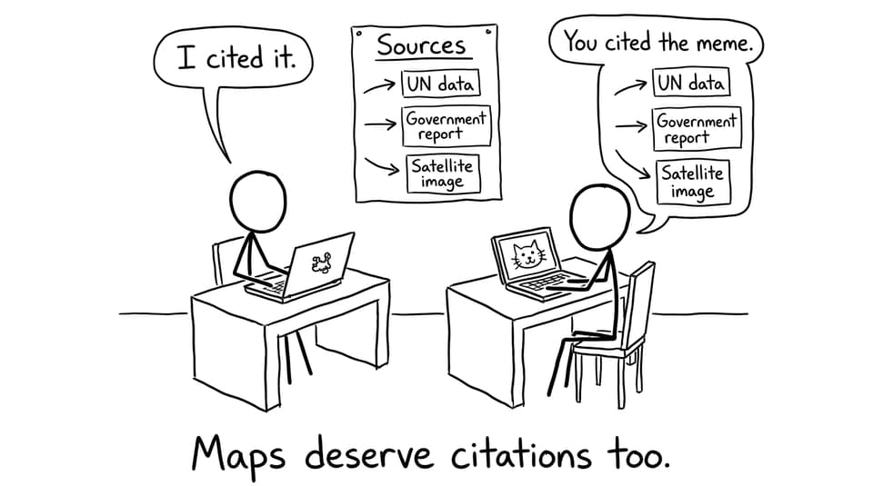
Have I cited every dataset, map, image, and definition?
-
Can I explain my method clearly enough that someone could replicate it?
-
If I used AI or digital tools, did I disclose them and verify outputs?
-
Did I evaluate limitations honestly instead of hiding them?
For rubric-aligned self-checking, the IB Geography IA Grader is a practical way to spot where integrity and clarity can improve together.
What integrity means in IB Geography (and why examiners care)
Integrity in IB Geography sits at the intersection of three things:
-
Academic honesty: your writing, analysis, and visuals are genuinely yours, and sources are credited.
-
Ethical inquiry: people and places are treated with respect, not as props for a grade.
-
Truthful representation: you do not distort data with selective reporting or misleading visuals.
This matters because geography is persuasive. A map can justify a policy. A graph can influence how a community is portrayed. A case study can either humanise people or flatten them into stereotypes. In IB Geography, integrity is the difference between analysis and propaganda.
If you want a broader look at integrity rules (plagiarism, collusion, duplication), read IB Misconduct Explained: Avoid Plagiarism and Collusion. The best time to learn the rules is before the pressure hits.
Ethical fieldwork in IB Geography: collect data like a guest, not an owner
Fieldwork is where IB Geography becomes real. It is also where small ethical mistakes happen fast because you are rushing, excited, or trying to “get enough data.” A simple mindset shift helps: act like a guest in the landscape and community you are studying.
Consent, privacy, and safety
If you are surveying or interviewing:
-
Ask for informed consent (what you are doing, why, and how answers will be used).
-
Avoid collecting identifying details unless you truly need them.
-
If photographing, ask permission where people are recognisable.
For physical geography sites:
-
Prioritise safety over completeness (weather, tides, unstable ground).
-
Avoid damaging habitats to get a “clean” sample.
-
Follow local rules and school guidance.
A strong IA does not sound heroic. It sounds careful.
Recording data honestly (especially when it is awkward)
Real-world data contains noise: measurement uncertainty, human behaviour, equipment limitations. Integrity in IB Geography means you write it down anyway.
Good practice:
-
Keep a fieldwork log with timestamps, site conditions, and method changes.
-
Save raw data tables before you start processing.
-
Use consistent units and consistent decimal places.
If you need help building fieldwork confidence from the ground up, this piece on preparing for investigation skills through fieldwork revision is surprisingly relevant even if you are already in the Diploma Programme.
Honest data representation in IB Geography: the map is part of your argument
In IB Geography, your data presentation is not decoration. It is evidence. That is why “misleading but technically accurate” visuals are still a integrity problem.
Avoid the sneaky distortions
Common ways students accidentally misrepresent data:
-
Truncated axes that exaggerate change.
-
Unequal class intervals in a choropleth that hide variation.
-
Selective time windows (choosing a start/end date that makes a stronger story).
-
Removing anomalies without explanation.
If you are not sure how examiners want you to treat figures, practise with a repeatable method. How to Analyze IB Geography Data Effectively gives a simple scan you can apply to any graph, map, or table.
Show uncertainty like a geographer
You do not need advanced statistics to be honest. You need transparency.
-
Use error bars where appropriate.
-
State sampling limitations (sample size, time of day, site access).
-
Separate raw data from processed data.
When your visuals become clearer, your evaluation becomes easier. For a strong, general framework, How to Present Data Visually in Your IA is a useful reference for captions, labels, and figure choices.
Citations in IB Geography: credit the invisible work behind your evidence
In IB Geography, you borrow more than words. You borrow:
-
datasets (UN, World Bank, national statistics)
-
satellite imagery
-
base maps
-
GIS layers
-
conceptual definitions
If it is not your original creation, it needs credit. And if you adapted it, say so.
A simple, examiner-friendly approach:
-
In-text: Data adapted from [Organisation] ([Year]).
-
Reference list: include author/organisation, year, title, and access details.
The point is not to prove you are “well-read.” The point is to make your work traceable.
Using AI and tech without crossing the line in IB Geography
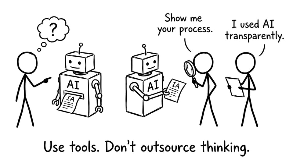
Technology is normal in modern IB Geography: mapping tools, spreadsheets, statistical tests, remote sensing visuals. The risk is not the tool itself. The risk is losing authorship.
Use AI and digital tools ethically by following three rules:
-
Transparency: disclose what tools you used and what they did.
-
Verification: check outputs manually (especially summaries and generated visuals).
-
Ownership: your interpretation and writing must come from you.
If you want a clear integrity-first approach to studying with tools, How RevisionDojo Helps You Maintain Academic Integrity While Studying is a helpful mindset guide.
Integrity for IB Geography exams: honest thinking scores higher
It is tempting to treat integrity as an IA-only issue. But in IB Geography exams, integrity shows up as disciplined thinking:
-
You use figures accurately instead of inventing statistics.
-
You acknowledge what the resource does not show.
-
You separate description from explanation.
-
You avoid overclaiming (correlation vs causation).
To practise under realistic conditions, RevisionDojo’s IB Geography resources hub connects you to syllabus-aligned support, and the Questionbank helps you rehearse exam-style responses with feedback that rewards evidence and clarity.
If you are planning your final weeks, Best Geography Mock Exams for IB is worth reading for how to use timed practice without turning revision into busywork.
How RevisionDojo supports integrity in IB Geography (without doing the work for you)
The best academic support does not hand you “perfect” answers. It builds the habits that make your work defensible.
RevisionDojo supports integrity in IB Geography through:
-
Study Notes that model clear phrasing you can learn from (then rewrite in your own voice).
-
Flashcards that help you remember definitions and case study facts without copying paragraphs.
-
AI Chat that explains concepts and suggests approaches while keeping you in control of the final wording.
-
Grading tools like the IB Geography IA Grader to check rubric alignment and spot weak evaluation.
-
Coursework Library with IB Geography exemplars you can use to calibrate standards (structure, citation habits, evaluation depth).
-
Predicted Papers and Mock Exams to practise honest, evidence-led responses under time pressure.
-
Tutors when you need a human to challenge your assumptions and improve your argument.
In other words: RevisionDojo helps you become the kind of student whose work can be explained, defended, and trusted.
FAQ: Integrity in IB Geography
What counts as misconduct in IB Geography?
Misconduct in IB Geography usually involves presenting work that is not genuinely yours, or misrepresenting evidence in a way that makes your conclusions unreliable. That includes plagiarism (copying text, ideas, or structure without proper credit), collusion (submitting shared work as individual work), and fabrication (making up data or altering results). It can also include misusing AI by submitting AI-generated writing as if it were your own analysis. Another overlooked issue is visual dishonesty, such as manipulating axes, map classes, or time frames to exaggerate a pattern while still looking “scientific.” If you are unsure where the boundary is, treat one question as your guide: could you explain your full process, step by step, with proof?
Can I share fieldwork data with classmates?
Yes, data collection can be collaborative in IB Geography, and classes often gather results in groups for practical reasons. The integrity issue starts when students share the same analysis, the same graphs, or the same phrasing of evaluation and conclusions. If you shared data collection, acknowledge it clearly in your methodology and then make your own choices about processing, presentation, and interpretation. Use your own visuals, your own commentary, and your own evaluation of limitations and improvements. Keeping personal field notes, photos of your data sheets, and version history of drafts makes your authorship easier to demonstrate. Collaboration is allowed when it increases safety and feasibility; it is not allowed when it erases individual thinking.
How should I cite maps, datasets, and satellite images in IB Geography?
In IB Geography, cite any map, dataset, or satellite image the same way you would cite a written source: identify who produced it, when it was produced, what it is called, and where you accessed it. If you used a base map and layered your own data on top, cite the base map source and then explain your own additions. If you adapted a dataset (for example, filtering years or converting units), say “adapted from” and describe what changed so the reader can trace your decisions. Captions are an easy place to add quick source credit, while the full details belong in the reference list. The goal is not a perfect format; it is transparency that lets someone else find the same material.
Is it okay to use AI for help in IB Geography?
AI can be used ethically in IB Geography if it supports learning rather than replacing thinking. It is generally safer to use AI for explanations, study planning, concept clarification, and feedback on structure, because those uses still require you to produce the final academic work. The risky zone is letting AI generate analysis, conclusions, or whole paragraphs that you then submit as if you authored them. If you do use AI meaningfully, be transparent, keep drafts, and verify any factual claims or data references it suggests. Treat AI like a calculator: powerful when used openly, harmful when used to pretend you did work you did not do. If you want a practical integrity routine, RevisionDojo’s tools are designed to keep you practising skills, not copying outputs.
Conclusion: in IB Geography, integrity is your compass
The strange thing about integrity is that it rarely feels dramatic. It feels like a small decision to keep the messy number in your table. A choice to cite the map you almost treated as “common knowledge.” A sentence in your evaluation that admits uncertainty instead of hiding it.
Those choices add up. They make your IB Geography IA more credible, your exam answers more precise, and your thinking more resilient under pressure.
If you want an integrity-first revision setup, start with the IB Geography resources hub, practise honestly with the Questionbank, and use the IB Geography IA Grader to keep your work transparent and rubric-aligned. In IB Geography, the truth is not a weakness. It is the whole point.